Archive for Queensland Government – Page 2

SUNSHINE COAST COUNCIL ADOPTS NEW PLANNING SCHEME

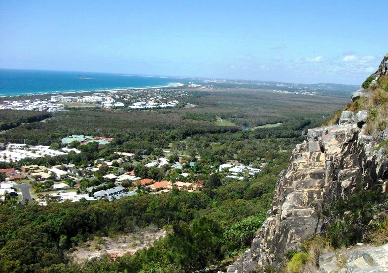
Coolum

The Sunshine Coast Council has, at a Special Meeting on Monday 14 April 2014, adopted the Sunshine Coast Planning Scheme.  The adoption comes after the Draft Scheme was signed off by the State Government Minister, subject to conditions which are to be incorporated by Council.

The Sunshine Coast Planning Scheme will replace both the Caloundra City Plan 2004 and the Maroochy Plan 2000, providing a level of consistency across the Sunshine Coast whilerecognising the unique character of local communities.

It is intended that the new planning scheme will commence on 21 May 2014, heralding in a new era for planning on the Sunshine Coast.

Should you wish to know of your opportunities for development either before or after adoption of the new scheme, please don’t hesitate to contact our office.
Regional and Rural Development focus of The Queensland Plan: a draft vision for the next 30 years

Shaping fundamental aspects of how our cities and regions might operate for the next few decades

The Queensland Plan

The Queensland Government has been busily and publicly active in the past twelve months, showcasing and shaping its new vision and strategy document;The Queensland Plan.  The widely-consulted strategy has just completed its community review stage.  The document largely centres on the State’s normative interests and portfolios, such as the economy, infrastructure, health and education.  This update focuses upon targets within The Queensland Plan relating to planning and development, giving an insight into how the Queensland Government is planning to shape our State’s built environment over the next few decades:

  • Regions – half of Queensland’s population lives outside South East Queensland.
  • Environment – Queensland has the best balance of environmental protection and economic development in Australia.
  • Infrastructure – the right infrastructure is delivered at the right place at the right time.

The balance of environmental protection and economic development is covered in greater detail in a previous post, and will not be discussed in any depth with this update.  The discussion of infrastructure delivery is indirectly given within this article’s focus upon the “Regions” element of the strategy directive.

Regions – half of Queensland’s population lives outside South East Queensland (by 2044).

At first glance, it may seem that this statement is easily achievable without much direct policy intervention.   However, for a population estimated at 4.66 million at the June Quarter of 2013, South East Queensland makes up approximately 70% of Queensland’s entire residential population.   Further, an assessment of Queensland’s broad hectare land supply, which is greenfield and brownfield land suitable for residential development greater than 2,500m2 in size, provides that South East Queensland holds an expected future dwelling yield of 450,000; accounting for 75% of dwelling yield across the entire State.

So, with a large population base, strong recent population growth, and the potential for a significant amount of future dwellings to be sited within the region, it stands to reason that it may be difficult redirect the inertia behind the steady trend of population growth within South East Queensland.  Once the logistics and cost that would underpin the sufficient and timely construction of public and community infrastructure is taken into account, which would be provided against the current trend of population growth, the scale of the commitment behind this strategy statement becomes more fully realized.

This strategy direction, if carried to fruition, would likely stimulate a large number of infrastructure upgrade projects across the State to support this growth.  Without already large rate bases, these infrastructure investments are not likely to be able to come from smaller Councils outside South East Queensland; limiting significant growth to areas within the larger regional areas of Mackay, Rockhampton, Cairns and Townsville, and undoubtedly with the added help of significant State or Federal regional infrastructure funding.

The far more difficult query relates is how the Government plans to stem the tide of greenfield, and indeed brownfield or infill development, in the burgeoning South East Queensland region, against the apparent momentum of this popular region?

Or is the plan to outstrip the long-standing growth trend in SEQ, with astronomical injections of funds to stimulate growth and infrastructure development in regional and rural areas of Queensland?  Will this come at the cost of those in the State who choose to settle in well-serviced and affordable areas of SEQ?  The finer points of this rural and regional revitalization are not known, and it is impossible to say how exactly such a plan would be delivered at this point in time.

The move by the Queensland Government to focus population growth, and hence economic growth, outside SEQ is a significant undertaking.  To limit impacts upon fringe agricultural lands in SEQ from our ever-expanding city centres, it could be a welcome development.  And so too for towns across Queensland which have been struggling in recent times with the pressures of metropolitan-focused population and societal growth, the “two-state” economy problem introduced by regional mining and gas projects, and fluctuating weather and commodities prices.  The growth would not come without the announcement of many and varied infrastructure projects across the State, which could be a welcome move for the construction and manufacturing sectors.

And it certainly would mean that developers looking to capitulate on this focus should start looking far and wide for opportunities to develop land across Queensland; as the growth in population in these areas will not occur entirely off the State’s back; and not without a concerted push from the urban development industry.

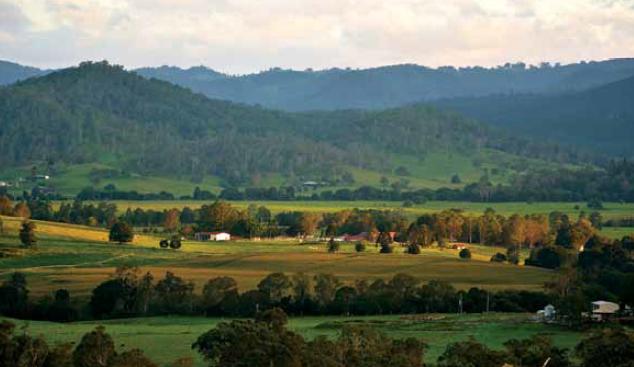
The Mary Valley – Growth and Strategy for revitalisation

Mary Valley

The Department of State Development, Infrastructure and Planning (DSDIP) have been focusing their efforts on growing the economy of the MaryValley, linked with the State’s sale of property in the region, centred around the potential for;

  • Growing agribusiness;
  • Growing small business; and
  • Growing tourism.

The economic development strategy for the MaryValley region, as developed by DSDIP, can be viewed here.  Further, properties for sale through the State are available for viewing here.  It is also possible to submit proposals or register interest in developing land to the Mary Valley Economic Development Office at 46 Main Street, Kandanga.

As specialists in land development for particularly the Gympie and SunshineCoast regions, contact us to find out if your designs on a MaryValley life or business are compatible with the planning schemes and other development constraints regulating land development in Queensland.

Our services may include assisting with site due diligence, co-ordinating the preparation of economic development proposals, and regular town planning, environmental approvals, or surveying work for inclusion in development applications for Council and the State Government.  For a full list of our services, please see our website or contact us.


Development Assessment Fees in Queensland: Overhaul and Increase

State Assessment Fees to follow “cost-recovery” model

Developers proposing to undertake development requiring extra assessment by the State will incur a higher fee from July 2014 under a planned “cost-recovery” model released by the Queensland Government in February.  Some aspects of development in Queensland are considered to warrant the assessment against interests of the State, for impacts chiefly upon their assets such as roads, railways, national parks, environmentally sensitive areas, waterways, agricultural land suitability, and vegetation management.  Any application made to a Local Council for a land development, if it is of interest to the State, currently gets referred to the relevant State Department for assessment, through the State Assessment Referral Agency.

The fees for this assessment currently vary, with some assessments priced at zero, and some in excess of thousands of dollars.  In order to recover approximately 64% of costs ($25.3 million) for its assessments of development applications, the State is proposing that no assessments will continue to be priced at zero, and the existing fee structure recorded in Schedule 7A of the Sustainable Planning Regulation will be overhauled.  The Consultation Regulatory Impact Statement proposes that a weighted fee is to be applied, based upon the time it takes for the State to typically make each certain type of assessment.  There are to be five fixed fee levels, with the base fee at around $700, and the maximum fee at around $11,000.

What does this mean for developers of land in Queensland? In most cases, it means that it will cost more to undertake any type of development involving the State as a concurrence agency.  This has a variety of implications, but typically it would seem that smaller developments that inconsequentially trigger State assessment stand to suffer the most from this policy, due to a high cost relative to their development’s returns.  That being said, the State is proposing that for some potential impacts, a quick assessment of likely impacts can reduce fees.  If a no impact is likely, the fee is applied as cheaply as possible (between $700 and about $2500), but for high likely impacts, fees can be as high as about $11,000.

The most frequently referred State agency for development assessments is the Department of Transport and Main Roads (DTMR).  This referral currently has an assessment fee priced at zero, and can be implicated with many small but also some large developments, based upon their proximity or likelihood of impacting State transport networks (mainly roads).  For the estimated number of assessments in 2014-15, referrals to DTMR account for approximately 36% of the 7040 assessments.  It is considered that much of the assessment revenue would therefore come from triggers relating to DTMR and State-controlled roads, at the cost of the applicant.

It is worth noting that this assessment fee may be in addition to requests for certified reports by consultant Engineers, Scientists, or other suitably qualified persons.  This isn’t a new occurrence, and has been a shift in the last couple of years, which acts to further complicate the process for anyone wishing to do their own development assessment.

The State’s policy does mean that those wishing to profit from the development of land will wear a more equitable share of the costs; a cost that taxpayers had previously borne.  This is an ethical and logical step.  The policy in it’s current form isn’t without potential issues however, including chiefly the basis of the cost being for the historic time it takes for the State to make it’s assessment on certain matters.  These times fluctuate for a variety of reasons; individual assessor performance, change in policy, and difficulty of assessment due to the non-local base of assessor or non-technical base of the assessor.  Further, it is suggested that a Risk-SMART type arrangement would provide further equity for developers who engage experienced consultants, who prepare reports and plans which significantly reduce the time and complexity of the State’s assessment.

The most encouraging section of the policy is the Government’s aim to continually review the fee structure; to ensure that any issues arising from the framework are addressed and any bumps ironed out.   The Government is obviously hoping it’s already got the balance right between cost and outcome, though the fee for some assessments might still be hard for some applicants to swallow, particularly small developments where the trigger for assessment has arisen from what may be perceived as a trivial or inconsequential matter.

If you’re considering a development that you believe may implicate a State assessment, it may be best to consider going ahead with the development now to avoid a potential rise in referral costs. Please contact us for a site-specific assessment, and we can advise on what the potential difference in costs may be.

Planning reform in Queensland

Updates on the Newman Government’s State planning reforms

If you’ve been active in the development space over the last few years, you may have noticed the incremental roll-out of the Newman Government’s policy and planning legislation reform, significantly changing the game for developers in Queensland.

This newsletter will chronicle the release of reforms as they are announced and as they come into force, helping distil what the changes mean for those in the industry, and what could arise out of the various shifts in focus which have been set in motion by the Newman Government.

So far we’ve seen significant changes from 2013, including the following:

  • Installment of the State Assessment and Referral Agency (SARA) and online myDAS portal;
  • State Development Assessment Provisions (SDAPs)
  • Single State Planning Policy;
  • Queensland Planning Provisions;
  • Sustainable Planning Act and Other Legislation Ammendments (SPOLA) Act 2012;
  • Environmental Protection (Greentape Reduction) and Other Legislation Amendments Act 2012; and
  • Vegetation Management Amendment Act 2013 (and self-assessable codes)

With the following milestones yet to come in 2014 and 2015:

  • Changes to infrastructure charges framework – mid 2014
  • Planning for Queensland’s Development Act (to replace the Sustainable Planning Act) – late 2014-mid 2015
  • Updating regional plans – to the end of 2014
  • Updating of local planning schemes – ongoing

All of these changes have a significant impact upon the development application process involving almost every type of conceivable type of urban land development in Queensland.

Accordingly, certain types of development activity regulated under planning or environmental legislation, which was previously unviable, may now be achievable with the effects of the reform.  Conversely, these changes may impose different or further challenges or restrictions upon land use matters in Queensland.

Time is the critical element here, and finding out where your development stands sooner rather than later could add significant advantages and save you time and money through the concept design and assessment stages.

If you would like to discuss a particular development with us, and how it’s status may change with the roll out of State legislation or policy, get in contact with our Gympie or SunshineCoast office and one of our staff will assist with your enquiry.


Lord of the Regions: Queensland’s Single State Planning Policy


The Newman Queensland Government’s approach to the State’s planning policy has been revealed as one of consolidation; introducing a single state planning policy (SPP) to replace the multiple policies previously in existence.  The SPP has two important roles; in guiding local governments to identify and implement state interests, and also for applicants in formulating their development proposals.

Lord of the rings

Aside from governmental functions including making or amending planning schemes or regional plans, the SPP has two important applications being for:

  • the designation of land for community infrastructure (CID) for things such as:
    • hospitals;
    • educational facilities;
    • railway facilities;
    • parks and recreational facilities; and
    • government administrative offices and works depots.
  • Assessment of a development application according to the interim development assessment requirements until the SPP is integrated into planning schemes (any scheme made after the SPP came into effect on 2 December 2013)

Some state interests have supporting mapping to assist in spatially representing policies or requirements outlined in the SPP. There is mapping for both local government plan making and development assessment purposes. This mapping is contained in the SPP Interactive Mapping System.

The SPP is set out according to five core themes, under which sixteen (16) interests are grouped.  The themes and their respective interests are the following:

1.    Liveable communities and housing

1.1. Liveable communities

1.2. Housing supply and diversity

2.    Economic Growth

2.1. Agriculture

2.2. Development and Construction

2.3. Mining and Extractive Resources

2.4. Tourism

3.    Environment and Heritage

3.1. Biodiversity

3.2. Coastal environment

3.3. Cultural Heritage

3.4. Water Quality

4.    Hazards and safety

4.1. Emissions and hazardous activities

4.2. Natural hazards

5.    Infrastructure

5.1. Energy and water supply

5.2. State transport infrastructure

5.3. Strategic airports and aviation facilities

5.4. Strategic ports

Not all of the interests listed above are relevant to development assessment, even in the interim until the SPP can be integrated into planning schemes and the interim development assessment provisions apply.  Only the following interests apply, according to how they are set out in the new interim development assessment requirements in the SPP:

  • extractive resources;
  • biodiversity in relation to a matter of state environmental significance;
  • coastal environment where on land in a coastal management district;
  • water quality;
  • natural hazards;
  • emissions and hazardous activities;
  • state transport infrastructure; and
  • strategic airports and aviation facilities.

With a number of planning schemes under review, or scheduled for review in the near future, the Single SPP along with the ever-updating Queensland Planning Provisions, and other relevant planning instruments, are sure to be cornerstones of the Newman Government’s planning legacy, as it is constructed and unfolded before our very eyes.

It remains to be seen whether the level of change from a planning framework perspective is having an effect upon the simplicity and warranted success of development applications; it should be said though that the distinctive move from ad hoc and numerous, toward consistent, consolidated and duly iterative, is a welcome directive in spite of the short term complexity it presents.

The changing face of development in Queensland: Vegetation Management

New regulations govern the use of vegetated land balancing economic and environmental outcomes

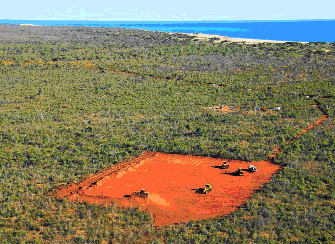
Vegetation Management

The legislative and policy framework governing vegetation clearing in Queensland for a range of land uses and development scenarios has changed, with aims to balance good environmental outcomes with correspondingly appropriate development proposals.  Accordingly, development that was previously prohibited or difficult to carry out due to the structure of the previous framework may now be possible, providing that a good case be made for the development against the criteria of the new framework.

The assessment of clearing generally still depends on the following considerations:

  • the type of vegetation (as indicated on the new regulated vegetation management map and supporting maps);
  • the tenure of the land (e.g. freehold or Indigenous land);
  • the location, extent and purpose of the proposed clearing; and
  • who is proposing to do the clearing (e.g. state government body, landholder).

The recent shift provides a raft of significant changes, including different exemptions for clearing purposes, new self-assessable codes, and a new simplified mapping of regulated vegetation over lots in Queensland.  The vegetation categories on the new map are:

  • Category A (red): areas subject to compliance notices, offsets and voluntary declarations
  • Category B (dark blue): remnant vegetation
  • Category C (light blue): high-value regrowth vegetation
  • Category R (yellow): regrowth vegetation within 50m of watercourses in priority reef catchment areas
  • Category X (white): areas not regulated under the Vegetation Management Act 1999.

A significant change for most of the developments Martoo Consulting has experience in gaining approvals for – being small subdivisions to large estates, duplexes to multi-storey complexes and shopping centres, schools to marinas and community infrastructure, and even backpackers and bed and breakfasts – is the change in level of assessment from 2 hectares to 5 hectares.  This means that lots less than 5 hectares in area will not be assessed for clearing proposed as part of a development.

The new self-assessable codes and clearing exemption purposes will also likely provide for some significant changes in terms of level of assessment; however these purposes and exemptions tend to be more circumstantial and applicable on a case-by-case basis.

In terms of the outcomes required of developments assessed against the State’s development assessment for vegetation matters, a renewed focus has been cast upon “environmental offsetting” as an acceptable outcome for some clearing that cannot be avoided or minimised.  Offsets can be made either through direct offsets (suitable land with good quality vegetation under an on-title security such as a covenant) or indirect offsets (the payment of an appropriate sum to the government), means that the environmental impact may be considered economically quantifiable and financial penalties enforced accordingly,  instead of the environmental damage being unequivocally prohibited.  The process is somewhat complex, requiring typically an amount of field surveying to determine the ecological equivalence of both the land to be cleared, and in the case of direct offsets, the land provided as an offset.

Martoo Consulting has experience in managing offsets for properties in Queensland, though a significant change to the Queensland Biodiversity Offsets Policy (QBOP) has been earmarked by the Department of Environment and Heritage Protection for early 2014, which will also require consideration upon publication for any significant changes affecting industrial, residential, commercial and agricultural land uses in Queensland.

To find out more about your property or development, and how it fits in with the changes in the environmental planning space, get in contact with Martoo Consulting and one of our experienced planners can talk you through the options you have at your fingertips.

Queensland State Government has released for public consultation a new Draft Coastal Protection State Planning Regulatory Provision

The  Queensland State Government has released for public consultation a new Draft Coastal Protection State Planning Regulatory Provision (draft SPRP) . The draft SPRP takes effect immediately from 8 October 2012 and will be in force for up to 12 months.
       
The draft SPRP applies to the coastal zone as defined by the Coastal Protection and Management Act 1995  and suspends the operation of:
 
  • State Planning Policy 3/11: Coastal Protection
  • Part 1.2 of the Far North Queensland Regional Plan
  • Part 3.3 of the Mackay, Isaac and Whitsunday Regional Plan
  • Part 2.2 of the Wide Bay Burnett Regional Plan
  • Part 1.4.3 and 2.4 of the South East Queensland Regional Plan

State Planning Policy 3/11: Coastal Protection (the SPP) was introduced to establish the state’s policies in relation to matters of state interest relating to coastal protection.  The state has indicated the current SPP policies are not sufficiently supportive of the Government’s commitment to grow the four pillars of Queensland’s economy and that a full review of the Queensland Coastal Plan including the SPP is being undertaken. 

The SPRP will apply to the assessment of development applications and master plan applications. The provisions set out in the draft SPRP are based on the state coastal management plan policies that were in place before the introduction of the SPP.

This draft SPRP will apply to the following from the date of commencement:

  1. development applications
  2. the making of local planning schemes and amendments
  3. the making of regional plans
  4. the designation of land for community infrastructure.

Please contact our Noosa office if you require any assistance or further information in relation to the SPRP.